

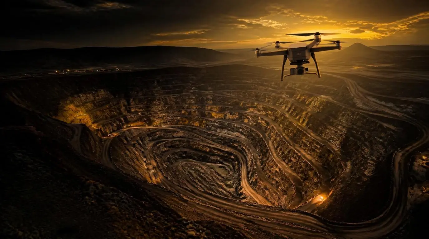
What we provide
Assess mining opportunities, conduct due diligence, evaluate mineral assets, prepare feasibility studies and analyse mining economics. We help clients make informed investment and project decisions.
- Mining opportunity assessments
- Due diligence
- Mineral asset evaluation
- Feasibility studies
- Mining economics analysis
How we work
Each service can be hired independently as a defined assignment, delivered remotely or onsite where necessary. Aurik Prime provides the agreed expertise and deliverables without taking responsibility for operating your mine or processing plant.
Hire Us
Tell us about your needs so we can agree the scope and deliverables.